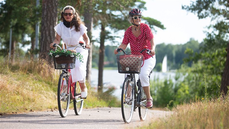
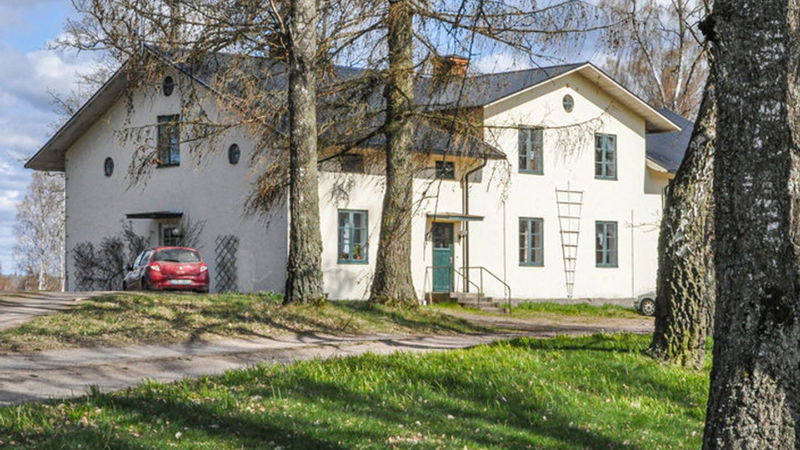
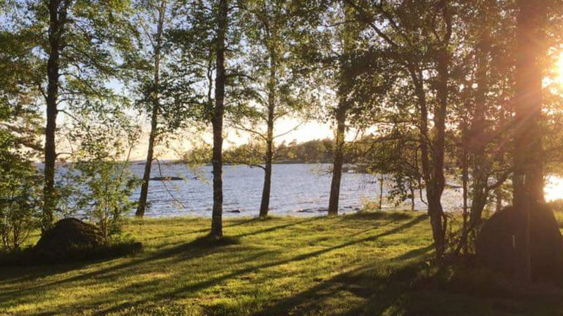
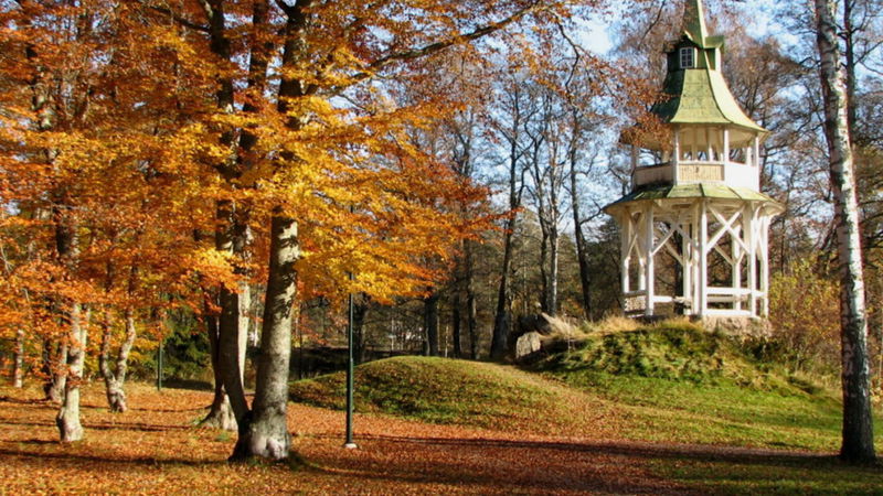
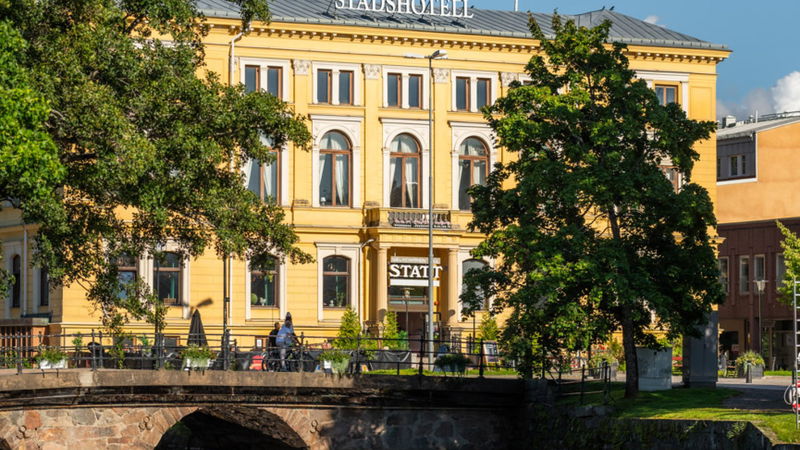
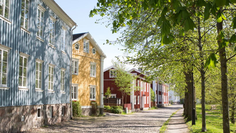
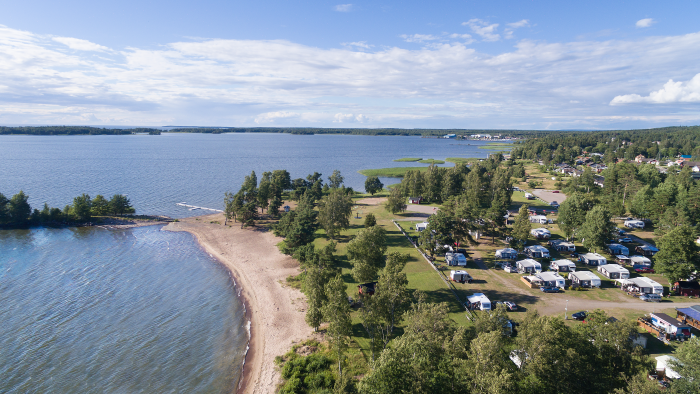
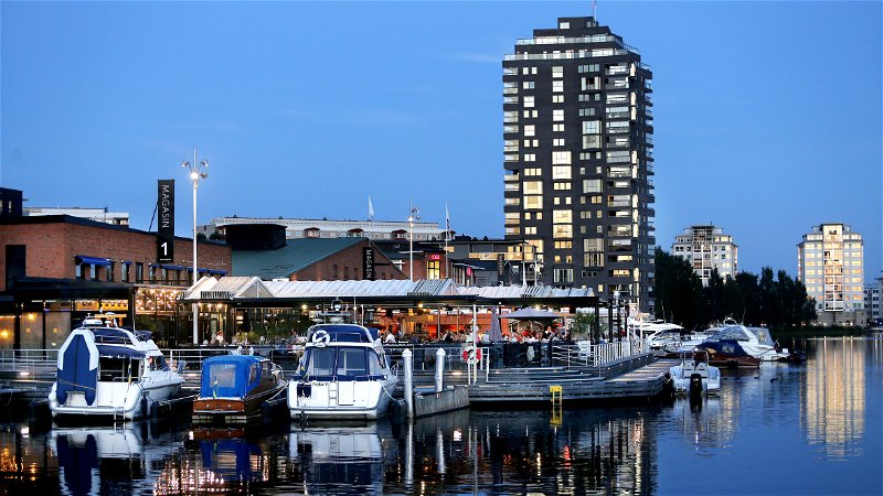
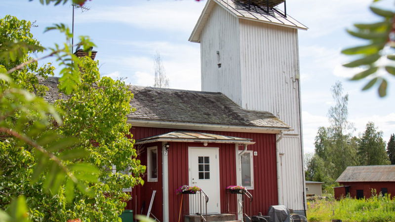
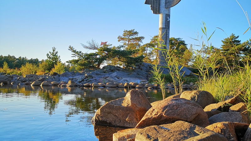
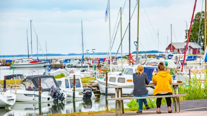
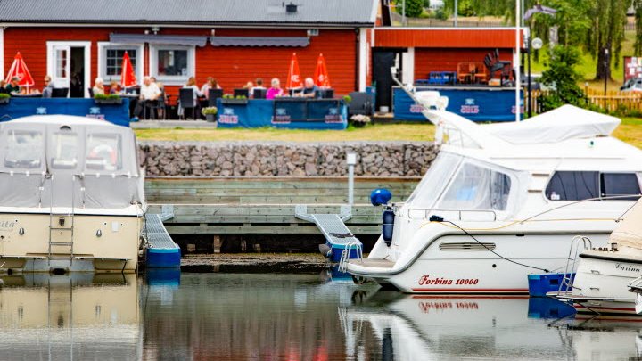
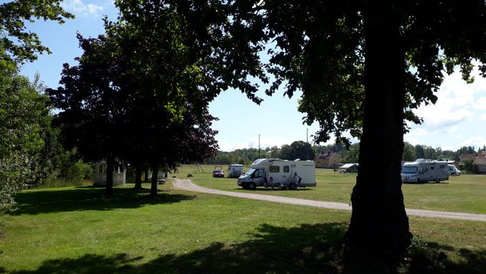
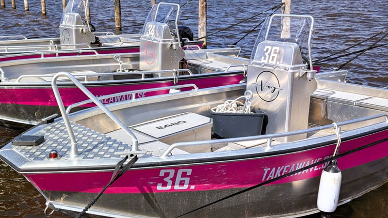
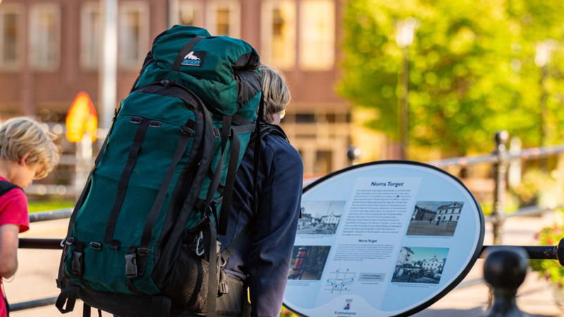
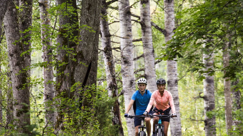
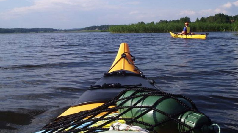
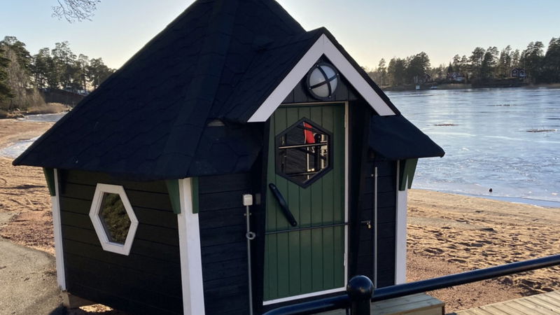
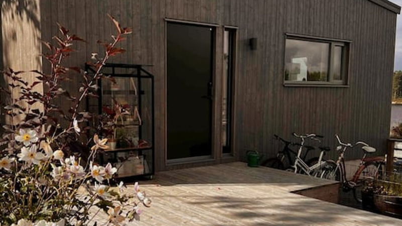
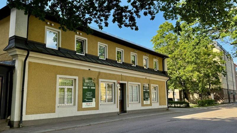
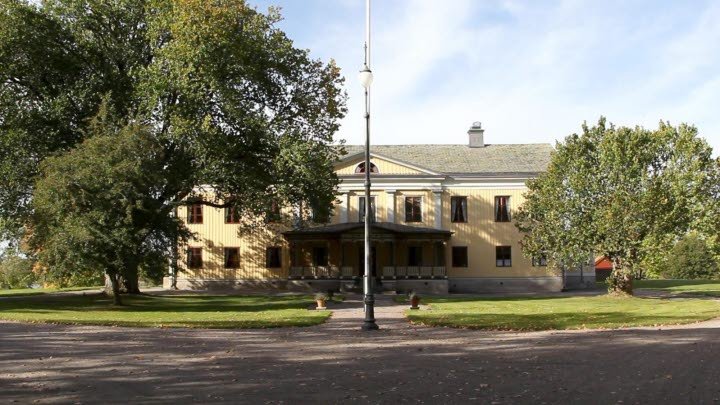
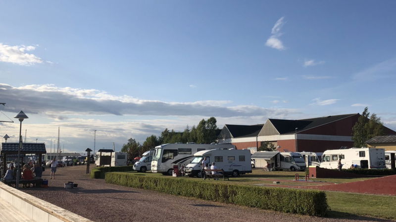
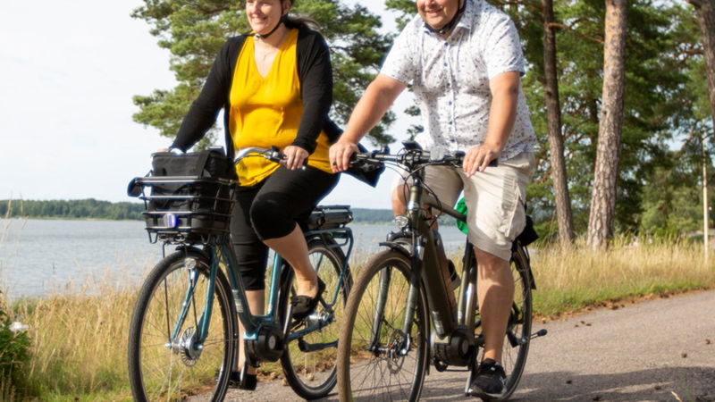
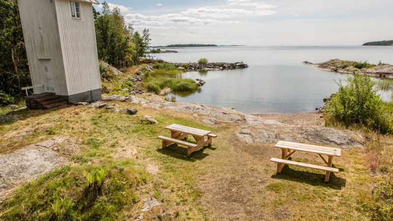
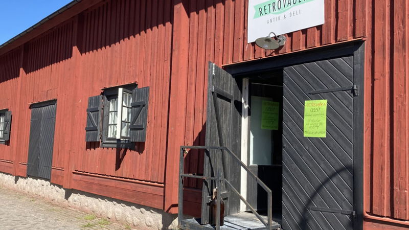
It’s a good idea to start this section of the cycle route at the guest marina (Gästhamnen) or at the Herrgårdscampingen campsite, both of which are in Kristinehamn. After you pass through the town centre about 6 km of fine cycle paths await you, leading towards the Vänern archipelago and the Picasso sculpture.
Lakeside sights and the Picasso sculpture
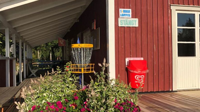
By the Picasso sculpture, we recommend that you take the opportunity to park your bicycle and go to both lookout points, one facing south and one facing north – it gives you a completely different impression of the sculpture which is seen from the front, looking out towards the horizon. In summer, there is an exhibition and infopoint on the strip of land that juts into the lake, as well as an ice cream café.
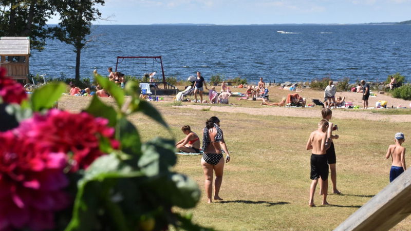
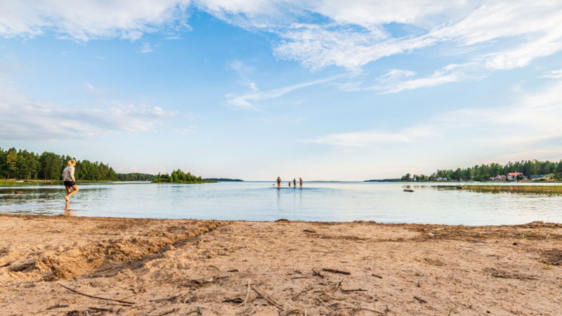
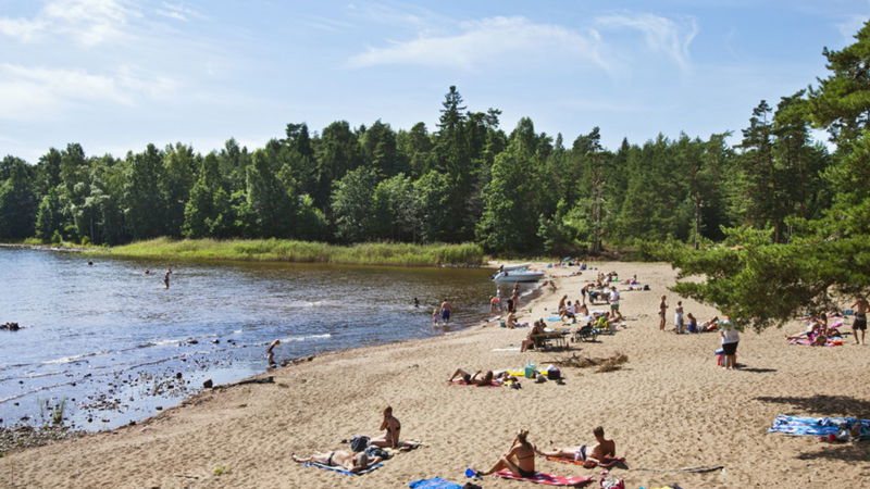
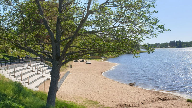
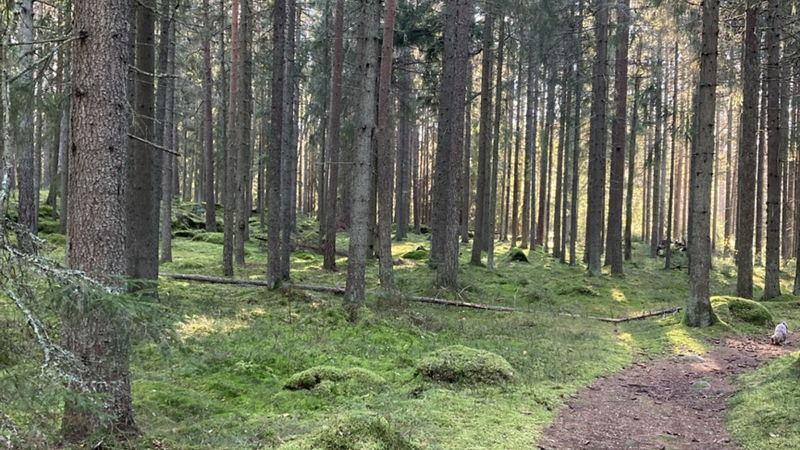
After the Picasso sculpture, you cycle a few hundred metres through a residential area of houses and holiday homes. Swim in the lake at Fyrudden or on other small pretty bathing beaches. Follow Jutviksvägen Road and then Nya Magasinsvägen Road that becomes Possebergsvägen Road, a lovely gravel track flanked with scenic Scots pine forest. Jutvikens Badplats is the favourite bathing spot of many Kristinehamn residents. Further south, you will come to Värnanäs and the Kungens Rastplats rest area.
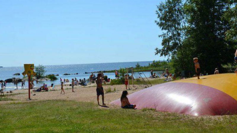
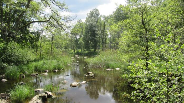
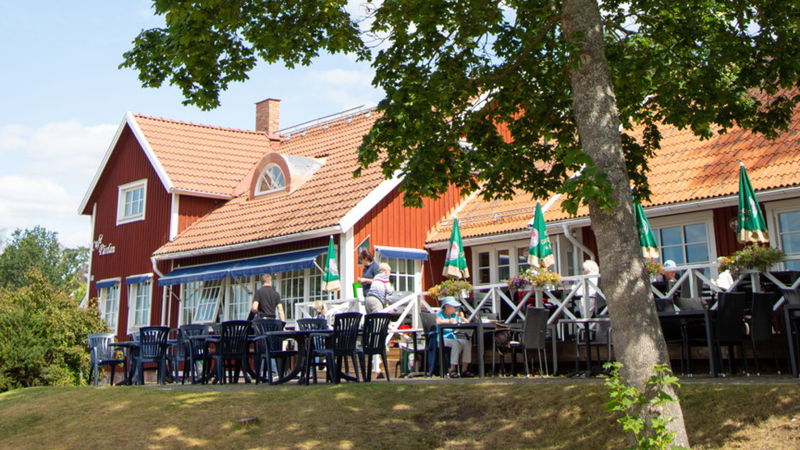
The road south meanders through farmland and forest landscapes, and you will see from the vegetation that you are close to Vänern. After 2 km, you will reach Revsands Familjecamping, where you can spend the night at the campsite or go for a dip in the lake from the popular long, shallow sandy beach. A further 1.5 km south, you can make a detour (of about 700 m) to Hults Sommarhem, where you can enjoy a swim and visit the café. Or make a detour to Vike, a village that was not included in past farmland-enclosure measures. Here, you feel as though you have travelled in time to bygone days.
About 6 km south of Hult, take the road to Baggerud. For a quicker trip, continue straight on towards Edskorset. Here, the cycle route turns onto the Nötön peninsula and pass places such as Medhamn and Hamnudden by the water. After Medhamn, you can make a detour to Dyrön’s nature reserve (about 5 km) or the later nature reserve Nötön-Åråsviken, which has three quality-assured walking trails and beautiful lookout points over Vänern. On the road towards Nybble, you’ll find the stone church Visnums-Kils Kyrka built in 1756, with a large tower and nave. The furniture and fittings include several medieval items. The altarpiece is Swedish and was made in the late 1400s; a statue of Mary dates from the 1200s.
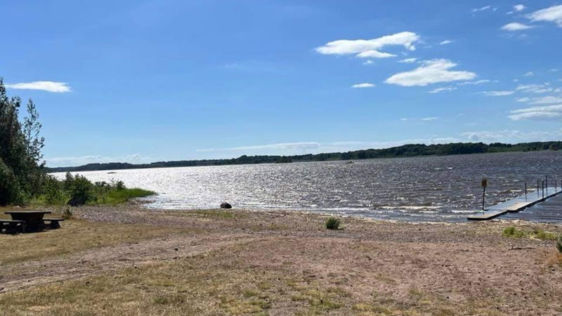
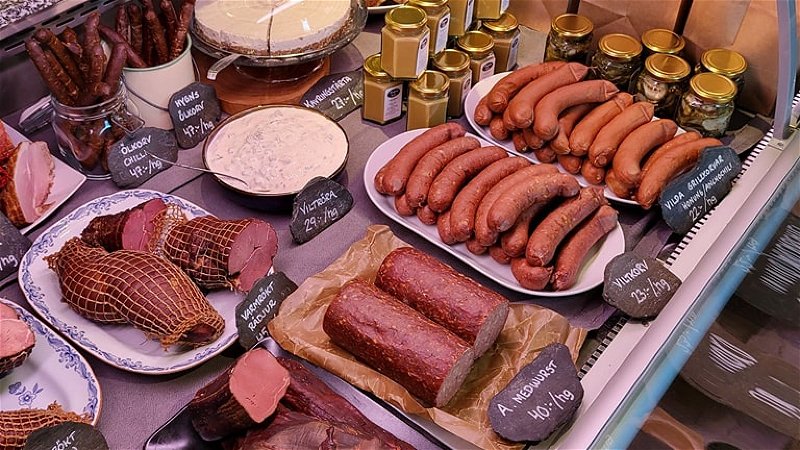
After Visnums-Kils Kyrka church, you continue on Kilsvägen Road and soon come to large enclosures of deer, which creates an almost exotic atmosphere. We recommend stopping at the Hygns Vilt farm café and game shop, after which you cycle a further 1.5 km or so and then turn right onto Säbyvägen Road towards Sund. Turn off towards the Bengtsgårds Badplats bathing area, which also features a designated barbecue fireplace, jetty and great grassy areas. At the grand manor and farm Värmlands Säby Gård, children can play in the park’s maze.
After Värmlands Säby Gård, you need to pass road 26, which is busy with a lot of traffic, so please take care.
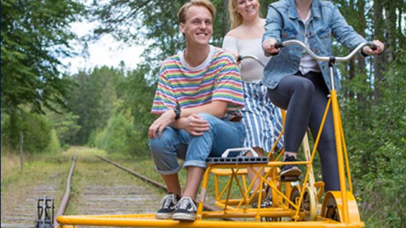
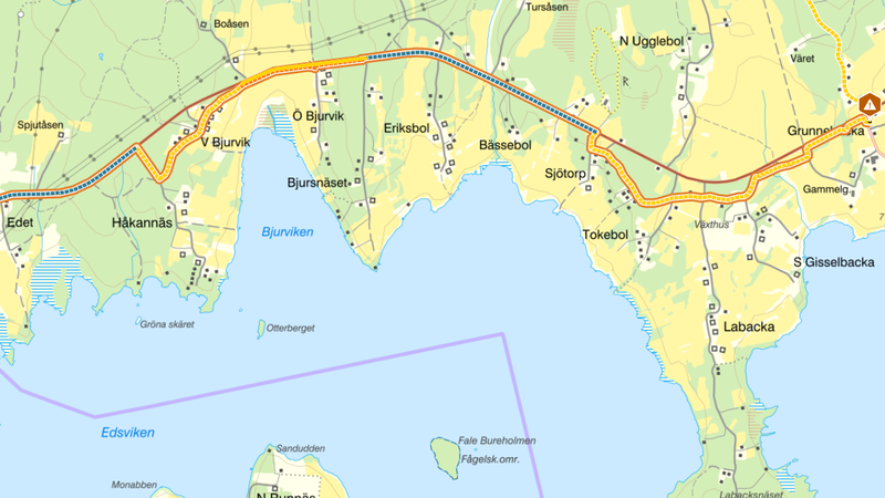
After passing road 26, the route takes you through forest landscape on a gravel track over the draisine (railway bike, velocipede) track. The cycle route follows the main road, and after about 4.2 km you reach a three-way junction. There, you can choose to turn off towards road 204 and Käbberud 1 or continue past Frosterud towards Grunnebacka to see more of this lovely area and visit the church Rudskoga Kyrka, which contains the oldest statue of Mary in Värmland. The Gottbols Badplats bathing spot by Lake Skagern just east of the cycle route is wonderful. Here you’ll also find a designated barbecue fireplace, a dry toilet and sometimes a kiosk.
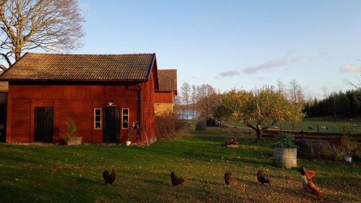
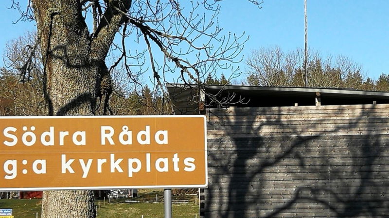
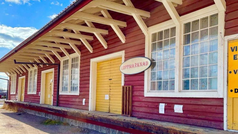
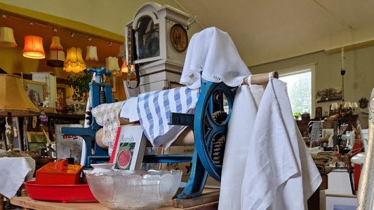
By Rudskoga Kyrka church, before you get to the barn, the gravel cycle route created by the landowners runs parallel to road 204 (partially a forest road). Road 204 is busy with a lot of traffic, so please use the cycle path that runs parallel to road 204 between Revsten and Östra Bjurvik. Shortly after cycling alongside road 204, you should turn off towards Södra Råda. If you enjoy visiting flea markets, keep an eye out for signs stating “Loppis” or “Loppmarknad” along the road to Gullspång as several are usually held in that area in summer. Another good tip is to turn left when you see the sign for Kronkärrs Fårgård after about 1.7 km. This is a farm where you’ll find a cosy workshop selling handicrafts made of wool. If you want a more immersive rural experience, you can also book overnight accommodation here.
Lake Skagern lies to your left, on the border between Närke Province, Värmland and Västra Götaland County, partly situated in the richly forested Tiveden area.
Reconstructed medieval church in Södra Råda
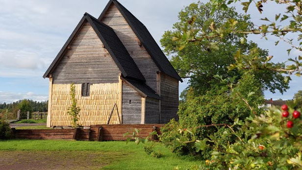
If you continue for a few hundred metres on the cycle route from the local heritage centre (bygdegården), it is well worth taking a detour to the left at the junction and a short distance after the new church in order to visit the site of Södra Råda’s old church. Today, it boasts an impressive reconstruction of the medieval timber church that burned down in November 2001. A unique example of medieval architecture as the timber church has been rebuilt using authentic medieval methods. Guided tours are provided on the church site during summer weekends. There are picnic tables by the church where you can eat a packed lunch or snack that you bring with you. A public toilet is also available. If you cycle a further 500 m, you can turn right and visit the inviting local heritage centre Södra Råda Hembygdsgård on your left.
Continue your bike ride by cycling back to the Vänerleden route and take the road to Gullspång at the junction next to the new church. On your right, you will soon pass Södra Råda Kulturhus, a culture centre in what was once the Missionskyrkan church. Current exhibitions are signposted by the roadside. From the culture centre it’s about 6 km to the next attraction, and you will have arrived in Gullspång.
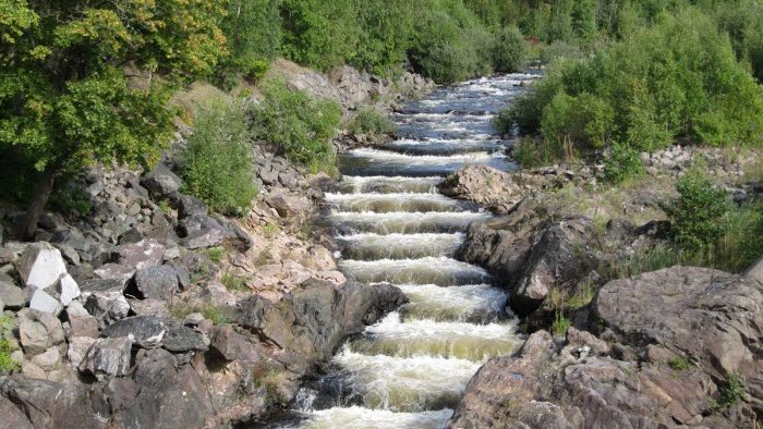
Salmon ladder, spawning ground for the unique Gullspångslax salmon population
After the bridge, you will cycle on Kraftverksgatan Road and see Fortum’s power plant on the right. Here, first cross the draisine (railway bike, velocipede) track and shortly afterwards turn right onto Brogatan Road. Then you will quite soon see the Gullspångsalmon ladder from the railway bridge. If you feel like going for a short walk, the path alongside the ladder up to the power plant dam is very scenic. The flowing waters of the River Gullspångsälven are home to the unique local population of salmon called Gullspångslax as well as Gullspångsöring, a local population of brown trout, two species that only spawn naturally in one location in the world. The salmon’s spawning period can vary from year to year. Factors such as air and water temperatures, the flow of the rapids and length of the day affect when the spawning starts, but as a rule of thumb it occurs in October and November.
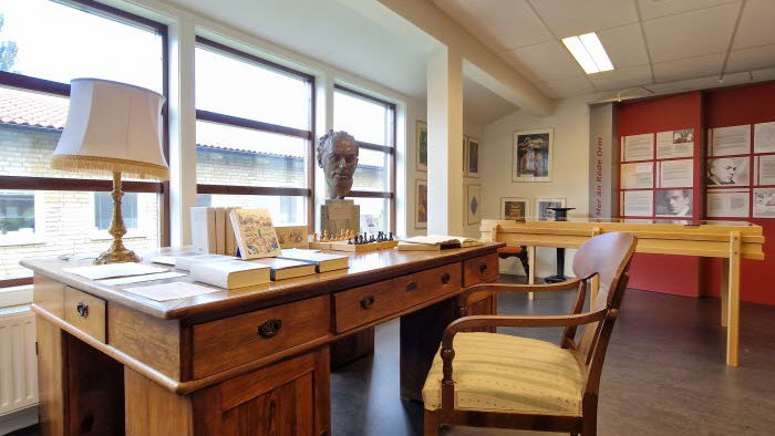
Another interesting place to visit in Gullspång is the memorial libraryFrans G Bengtssons Minnesbibliotek, which includes books and original documents from this famous Swedish writer. (The memorial library is marked with a symbol on the map.)
Frans G. Bengtsson spent his last 15 years living at Ribbingsfors Herrgård in Skagersvik roughly 5 km from Gullspång, and it was during his time there that he wrote Röde Orm (in English titled The Long Ships), the novel for which he is best known. The Swedish pop singer Linda Bengtzing and footballer Olof Mellberg are both from Gullspång.
You can take the opportunity to stock up on groceries in central Gullspång. Here, you also have two choices on the route. If you are in somewhat of a hurry, we recommend that you take the cycle path that runs on the disused railway and that is asphalted and that extends all the way to Otterbäcken. If you have more time, you can take a very worthwhile detour past Amnehärads Kyrka church on the other side of road 26 and out towards Lake Vänern; see the map for a more detailed description of the cycle route. This alternative section is partly asphalted and partly a gravel track. The village road meanders through lovely countryside and offers picturesque views of Vänern with several picnic tables where you can take a short break. Along the way, Åråshults Camping includes cabins that each have a unique style and are full of charm and little details. (This alternative section is about 10 km long.) If you have taken the alternative route, you will reach the asphalted railway trackbed that you should follow down to the right and Otterbäcken.
Otterbäcken’s archipelago with a wealth of history
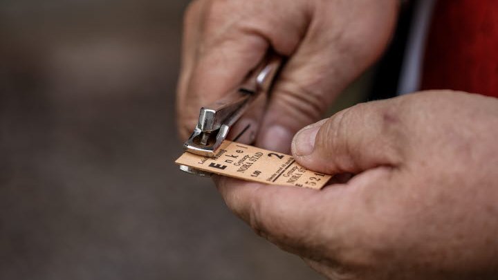
If you are interested in shipping and its historical significance for Otterbäcken, keep an eye out for a small forest path on your left about 500 m before you reach the settlement of Otterbäcken. This path leads you to a little shipping museum. A salmon and transport boat from the 1800s is displayed under a roof outside. The museum is open by appointment. Alternatively, if you continue on the cycle route, you can take the opportunity to soak up some railway history if Järnvägsmuséet is open. This is a railway museum housed in an old platelayer’s (trackman’s) cabin dating from 1896, and a locomotive is also kept on the site.
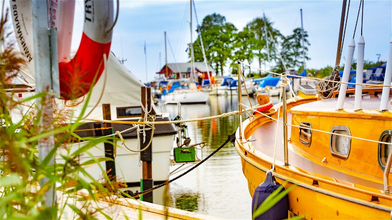
Archipelago life is evident here, and there is a guest marina for leisure boats and a loading quay for cargo vessels. Directly beyond the guest marina, by the car park on your left for the small grocery store, the local heritage association has created a memorial to the large seafarers’ church that once stood here and dramatically burned down in 1939.
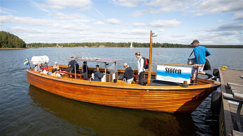
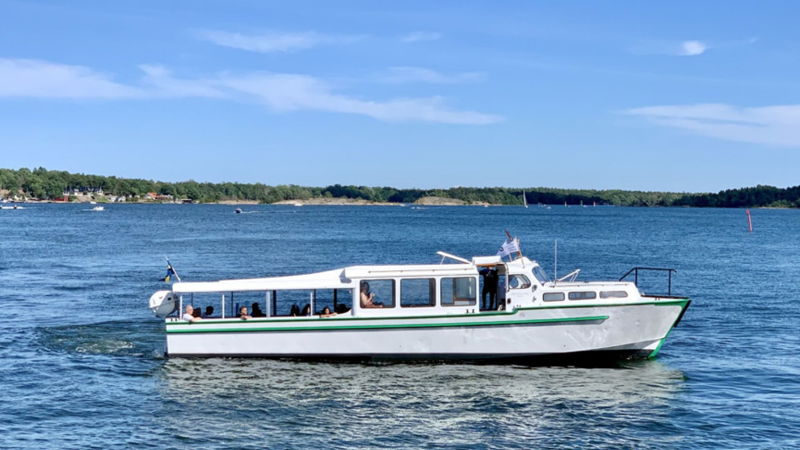
And if you’re cycling around Lake Vänern, what could be more apt than experiencing the tranquillity and farm life in Otterbäcken’s archipelago on an island? Storön Gård Farm offers you this opportunity with accommodation and a boat ride from Otterbäcken to the island, including the transportation of bicycles. This must be booked in advance.
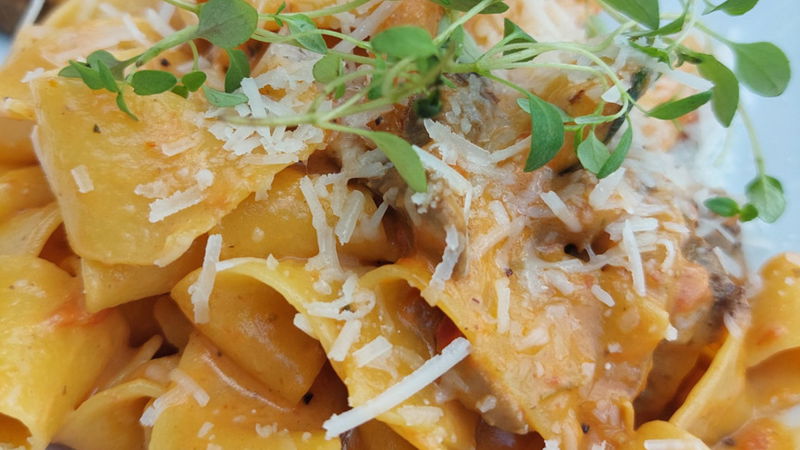
There are restaurants serving a range of tasty food in Otterbäcken, where you can enjoy evening sunshine while dining outdoors, directly by Vänern’s shoreline. Otterbäckens Sjökrog serves delicious fish and also has an ice cream kiosk. On the quayside you’ll find a panoramic sign displaying a map of Vänern.
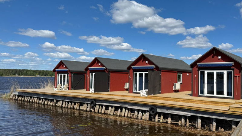
Slightly further south, when you have cycled through virtually all of Otterbäcken, you can also stay overnight in one of the cabins at the family campsite Barfotens Camping. This campsite is known for its child-friendly sandy beach with jetties, and it also has a playground, boules pitch and a kiosk.
